Offline maps, GPS navigation, public transit, and more
2GIS is a comprehensive city guide that combines detailed offline maps, a reliable GPS navigator, and a complete directory of local businesses. It helps you find any address, discover nearby places, and build optimal routes for driving, walking, cycling, or using public transport. The app works seamlessly both online and offline, so you can download a city map and navigate without an internet connection, making it perfect for travel or areas with poor connectivity.
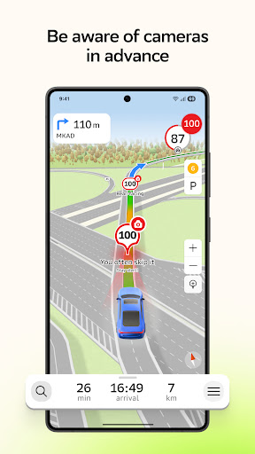
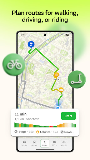
The built-in GPS navigator supports Android Auto and provides detailed 3D maps with realistic road models, including tunnels and interchanges. Routes are calculated with real-time traffic, accidents, and roadworks in mind, and you'll receive speed camera alerts to help you avoid fines. Finding parking is easy too, with the app guiding you directly to available parking lots or the exact building entrance. For pedestrians and cyclists, smart routing considers slopes, stairs, bike lanes, and footpaths, ensuring a safe and efficient journey.
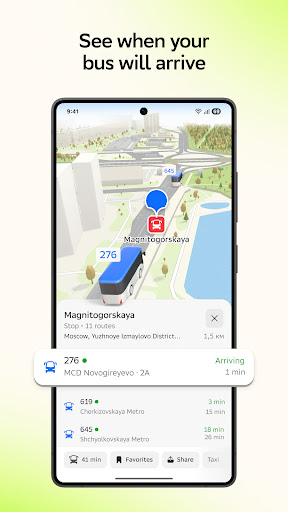
Public transport users get comprehensive route planning for buses, subways, trams, trolleybuses, and commuter trains. You can choose the fastest or most convenient option, with or without transfers, and see vehicles on the map in real time. Up-to-date schedules and timetables are always at your fingertips.
Stay connected with the 'Friends on the Map' feature, which lets you share your live location with friends and family. You can see each other's real-time positions, send emojis to suggest a meeting, or chat without switching apps. The feature also serves as a family locator, allowing you to check on elderly relatives or children and receive notifications when they arrive home. You can share your location or route with anyone via a link, or create temporary travel groups with controlled access.
Beyond navigation, 2GIS offers rich, detailed maps with building models, trees, and indoor layouts for malls, stations, and airports. It includes thousands of honest reviews, photos, and videos to help you choose the best places, plus curated guidebooks with audio guides and 3D attractions. A companion app for Wear OS smartwatches provides convenient navigation on foot, by bike, or by public transport, with vibration alerts at turns and stops.
Screenshots
Download 2GIS: Offline map & navigation
No builds here yet
No builds yet. Upload yours first and earn from every download — it's easier than you think.